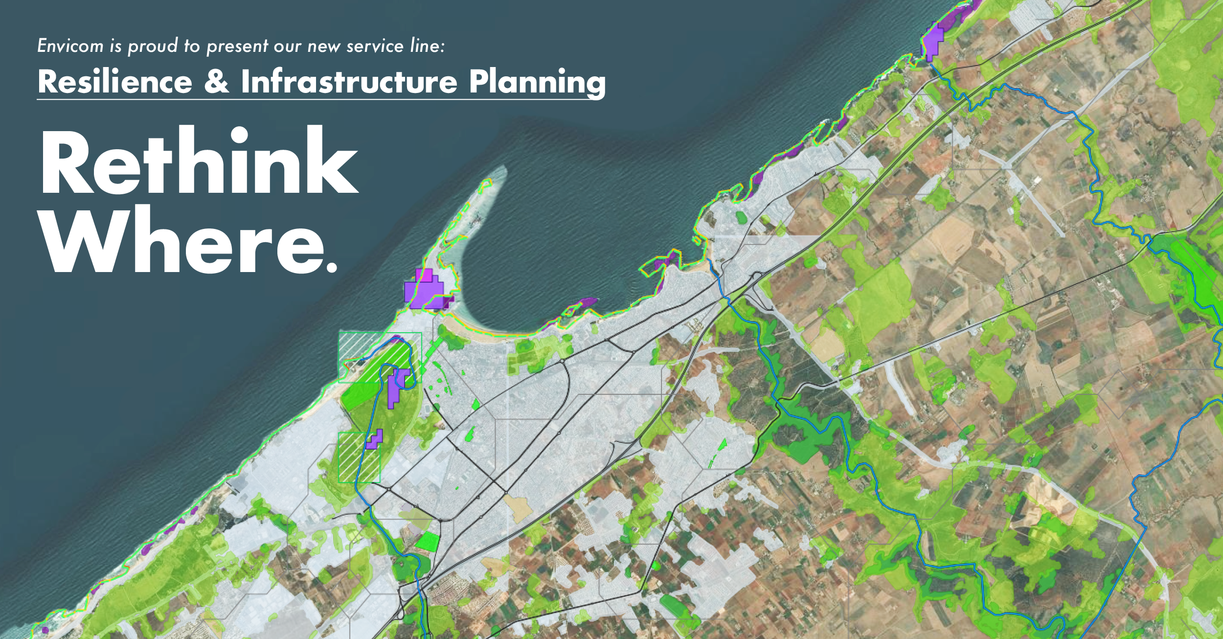
Need Resilience Built In? Start Here.

Our Resilience & Infrastructure Planning service supports government agencies and private investors in building resilience through the use of advanced geospatial technology and real-time local data. With global experience and a focus on the unique characteristics of each location, we design practical, place-based solutions that reflect the needs of the people and environment. Our sophisticated geospatial models enable rapid assessments across diverse environments, capturing bio-geographic, socioeconomic, infrastructure, and land use parameters. This supports a wide range of services including risk assessments, adaptation and mitigation strategies, resilience planning, and nature-based solutions, enhancing resilience around the world.

Services:

  • Resilience & Adaptation Planning

  • Predictive Modeling & Risk Assessment

  • Infrastructure Planning

  • Environmental Constraints

  • Disaster Response & Debris Management

  • Decision Support Tools

Final-logos.png

WE ARE PROUD TO PARTNER WITH THESE OUTSTANDING ORGANIZATIONS AS WE promote resilience ACROSS THE GLOBE


Water+Drink.jpg

Meeting Sustainable Development Goals (SDGs)
Clean Water Access for All

Envicom received grants from the Conrad N. Hilton Foundation to use geospatial technology solutions to address SDG 6 (Clean Water and Sanitation). We are working with teams in Asutifi North District, Ghana as well as in several prefectures in the Central African Republic.

Our solution: Geospatial web applications that provide centralized management and analytical capabilities for water and sanitation management. We are providing local government, NGOs and local Partners with the tools they need to work collaboratively and meet their targets.


hurricane.jpg

Disaster Preparedness & Response
Improving Communication & Action

In the face of what seems to be an ever-increasing number of natural disasters, we need ways to provide complete situational awareness – and quickly. Our staff has been involved with a number of disaster response GIS efforts over the years and we possess Incident Command System (ICS) training.


Monitoring and Outbreak Response

 In June of 2016 there was a major polio outbreak in the DRC. Our Envicom team member Amanda Miner was invited to be on a Specialty Technical Team selected by GISCorps for WHO, UNICEF, and the CDC, managed real-time development and adaptation of web-application to needs on the ground. This ESRI-based application captured and validated hundreds of thousands of individual structures from current high-resolution satellite imagery, and provided field data collection capacity that would tie all data collected to every relevant household. This also helped aid team response strategies, plan optimal routes, and quantify medical supplies. This was a first-of-its-kind effort at this scale.

 
  • Assisted with schema and data formatting

  • Assisted with training materials for global digitizing team

  • Provided offline data management, merging, and resyncing to the application

  • Performed validation and general troubleshooting

  • Overcame obstacles between the web application and printing output

  • Similar geospatial web application solutions can be built for health monitoring and disease tracking